Wekiwa Spring
Location – Lat. 28° 42’ 42.79” N., Long. 81° 27’ 37.52” W. (NE 1⁄4 NE 1⁄4 NE 1⁄4 sec. 36, T. 20 S., R. 28 E.). Wekiwa Spring is located within Wekiwa Springs State Park approximately 4 miles (6.4 km) northeast the town of Apopka. From the intersection of US 441 and SR 436 in Apopka, travel 1.5 miles (2.4 km) east on SR 436 (Semoran Boulevard.). Turn north (left) on Wekiva Springs Road and travel approximately 2.5 miles (4 km) to a 90 degree bend to the east. Continue on Wekiva Springs Road approximately 0.4 mile (0.6 km) to the park entrance on the north (left) side of the road.
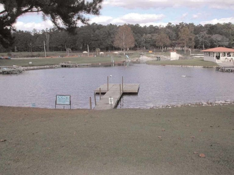
Description – The spring pool is roughly circular and measures 105 ft (32 m) in diameter. The primary vent is in the southeast portion of the pool and is a 35 ft (11 m) long fissure in the limestone oriented east to west. The spring bottom is sand and averages 5 ft (1.5 m) deep. Limestone is exposed near the vent. The depth over the vent measures 13.7 ft (4.2 m). The water is clear bluish green. The boil over the vent is voluminous. A retaining wall 2-3 ft (0.6-0.9 m) high with access steps encloses the pool and extends a short distance down the run. There is no aquatic vegetation in the spring pool, but the Wekiva River supports a rich aquatic plant community but has exotic species present. A sidewalk surrounds the pool and a wooden footbridge crosses the run about 200 ft (61 m) downstream from the pool. Wekiwa Spring is situated at the base of a northeast-sloping, grassy, hillside maintained for sun- bathing and picnicking. Wekiwa Spring gives rise to the Wekiva River, which flows north- east through state land approximately 17 miles (27.4 km) into the St. Johns River.
Utilization – Wekiwa Springs State Park is heavily used for swimming, canoeing and camp- ing. The Wekiva River basin is part of a state conservation land called the Wekiva Springs Geopark comprising 110 square miles (285 square kilometers).