Wacissa Springs
Wacissa Spring is a popular swimming hole and spring run in the Florida panhandle, located in Jefferson County.
Wacissa Springs, and the Wacissa River, are very popular for day trippers from around northwest Florida.
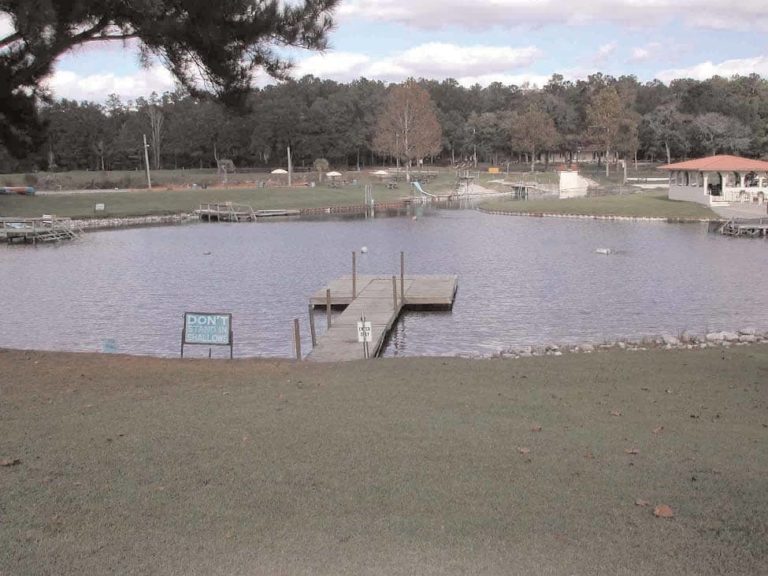
Wacissa Springs is surrounded by a county park, maintained by Jefferson County.
The park has sparse amenities — and is mostly a parking lot and boat ramp, with access to the Wacissa River.
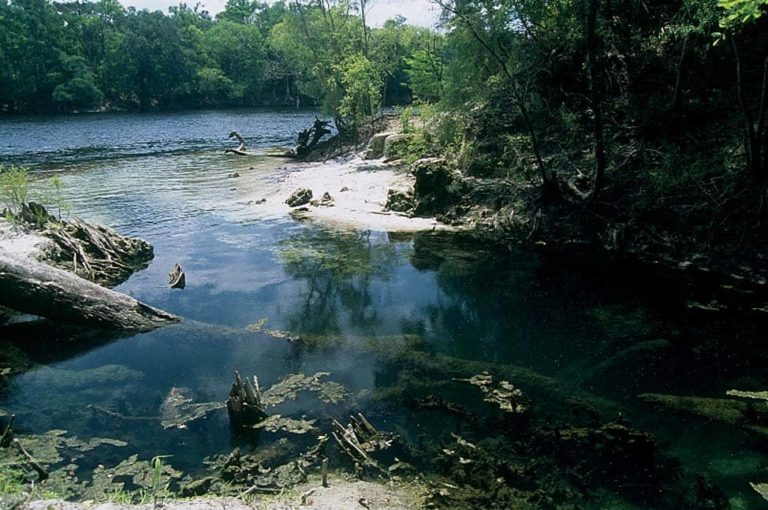
The spring is primitive and rustic, with a very natural setting. It is located in a natural, rural area, and is mostly surrounded by forest and cypress trees.
The Wacissa River is approximately 14 miles long. The current typically flows at approximately 2-3 mph, and is rated as easy, and beginner-friendly.
Location
Wacissa Spring is the source of the Wacissa River, which is a popular river for kayaking, canoeing and boating. There are several options for kayak and canoe rentals nearby.
Spring Description
The main spring pool at Wacissa Spring is very large, and is approximately 30 feet in diameter. There can sometimes be large amounts of algae and Hydrilla.
The water in Wacissa Spring often has crystal clear water. It is sometimes possible to see all the way down to the grassy bottom.
The water clarity does vary with weather and water flow conditions. After periods of heavy rain the water can become dark, cloudy and tannic, rather than clear.
Water originates from a spring vent, approximately 10 feet below the water surface. There is exposed limestone rock around the spring vent.
Land around Wacissa Springs is mostly dense forest, except for the county park and boat ramp area.
Nearby
Besides Wacissa Spring, there are many other springs and spring runs in the area, including:
- Thomas Spring
- Horsehead Spring
- Aucilla Spring
- Cassidy Spring
- Big Blue Spring
- Little Blue Spring
- And many others
Best Times to Visit
Wacissa River is one of the most popular springs near Tallahassee. Wacissa springs is often most crowded on weekends and holidays, especially when the weather is warm. For a quiet, peaceful visit, weekdays are often a good choice, or during cooler weather when it’s too chilly to swim.